Frequently Asked Questions
We hope we have answered all your questions in the list below.
If there is something not covered, please don't hesitate to contact us.
How difficult are the trails?
All our trails are generally Grade 3. (With some seasonal variation)
Work is ongoing to improve the more challenging trails – but in general riders should be experienced and confident to tackle more remote off-road environments, or busier intersections.
They vary greatly. The easiest are wide, smooth and flat or gently undulating. As they get harder you can expect any combination of narrow, muddy, stony or even cobbled, as well as more hilly terrain requiring long climbs or short, technical sections where you may need to dismount and walk.
To make it easy to find the right ride for you, each of the Mountains to Sea trails are graded according to New Zealand’s official grading system.
Can I do the trail in parts or as a whole end to end adventure?
Our connected pathways are designed to be flexible. So, if you’re up for it – then the full trail experience is an epic adventure. Otherwise, choose the sections that suit your time availability and experience/ability. Many of the trails can be connected for short mini breaks – so you can keep coming back to explore (Check out our suggested itineraries)
How much time should I allow to ride the trails?
We have trails to pick and mix from half day rides to full on multi day advenutres.
Generally, most riders will tackle the full adventure from Ohakune via the Whanganui river in 4-6 days, but it’s up to your fitness, logistics and time. We do encourage you to slow down (and make sure you take an extra day in Whanganui to explore the arts and history of this UNESCO City of Design!)
For details on each trail including estimated ride times, ride profiles and trail information, head to the trail section page.
What direction should I ride the trail in?
Generally, the trail is ridden from North to South (and slightly to the West) (Tūroa to the Tasman Sea).
Riding sections? Ride them your way. Our shuttle operators have sorted the easiest logistics to ensure you have a fun adventure. For example Te Hangāruru and Ohakune Old Coach Road are most often ridden from the north back to Ohakune when ridden as a standalone ride to simplify logistics and to make the most of the overall descent.
What is the correct route?
When is the best time to ride the trail?
All trails may be ridden at any time of the year except the Mangapurua which may be closed in Winter or after severe weather. The key is preparation – check our website for latest trail status
Are the trails free to ride?
The Mountains to Sea – Ngā Ara Tūhono trails are free to ride, thanks to the support of our generous land managers and the incredible mahi of our local communities. Every time you stop for a coffee, stay a night, or shop along the way, you’re helping keep these trails thriving for future generations.
Behind the scenes, the trails are cared for by the Ngā Ara Tūhono Charitable Trust, with support from MBIE, DOC, Ruapehu and Whanganui District Councils, plus a whole host of other funders and volunteers. But we can’t do it alone.
✨ You can play a part in the future of the trails:
• Complete our short survey – your feedback shows the true value of the trails and helps us secure vital funding.
• Make a donation – every contribution, big or small, supports the care and growth of this incredible journey from maunga to moana.
Just a few dollars or a few minutes of your time can go a long way.
Where can I buy food?
Plan ahead! Outside of Ohakune and Whanganui there are few places to purchase food. Most of the accommodation stops will offer full board options – but do check.
What kind of bike is suitable?
We recommend a mechanically sound hard tail or full suspension mountain bike for the best experience. The off-road sections are best suited for wider knobbly tyres to maximise your grip.
Road or gravel bikes are suitable for Whanganui River Road and the Upokongaro – Tasman sections
E-bikes are permitted – but riders should ensure that they can safely manoeuvre over and around obstacles if required – and they have sufficient battery and planned recharging stops.
Where and what kind of accommodation is along the trail?
A wide range of accommodation is offered on the trail from luxury stays, simple B&B’s and DOC campsites. Check our website for your choice from our official trail partners.
Is there a luggage transfer service?
Our official partner shuttle companies may offer bag transfers – check for more details.
Are there toilet and water stops along the trails?
Yes, but plan ahead where possible (and take toilet paper and hand sanitiser). Toilets are marked on our maps. Please do respect our environment.
Water is available from all our towns and villages. Water is obtainable along the more remote sections from streams but we advise you to treat or boil as you would in any wilderness area.
Are the trails suitable for impaired riders?
Some sections of our trails do present obstacles such as steps, squeeze bars and narrow bridges. Contact us if you have any queries and we will try and assist with access queries.
Is there good mobile coverage or Wi-Fi along the trail?
There are limited pockets of reception (on the tops of climbs and in the towns), this is a chance to get away from it all. Turn your phone to flight mode and make the most of the extra battery life to take photos (or for an unforeseen emergency)
Wi-Fi can generally be found at accommodation sites but may be limited (and be respectful as mostly this is satellite coverage outside the towns)
Are some sections suitable for day rides?
Yes, all sections of the trail make great individual day ride adventures! Head to the Trails page and choose the section/s that appeal and fit your logistics.
Can I hire bikes?
Yes, contact our bike hire official partners in Ohakune, Waimarino (National Park Village) and Whanganui for great hire services.
Where can I get maps and trail guides? Do you have gpx files?
Maps for each section are available at all our trail partners for free, or you can download them from the trail page.
Gpx files are available from the NZ Great Rides App.
What weather should I expect?
The trails cover a multitude of climates and altitudes – and the weather can vary from snow in the Winter and Spring on the central plateau through to sunny hot days, especially in the valleys. Be prepared for all weathers – and pack your beanie and sunscreen. Check out our suggested packing list for a comprehensive guide.
How can I report a trail maintenance issue or an incident on the trail?
Head to mountainstosea.nz/support and log a report. Thank you for being our eyes and letting us know if things aren’t quite right so we can provide a great riding experience for all!
When did the trail open?
The trail has its genesis in the late 1980's, with various tramping tracks and newly rediscovered abandoned roads connected to create the routes that form the trails we have now. Supported by the Government of the day as part of an economic stimulus package, the community has worked hard to build an exciting and fulfilling journey for all.
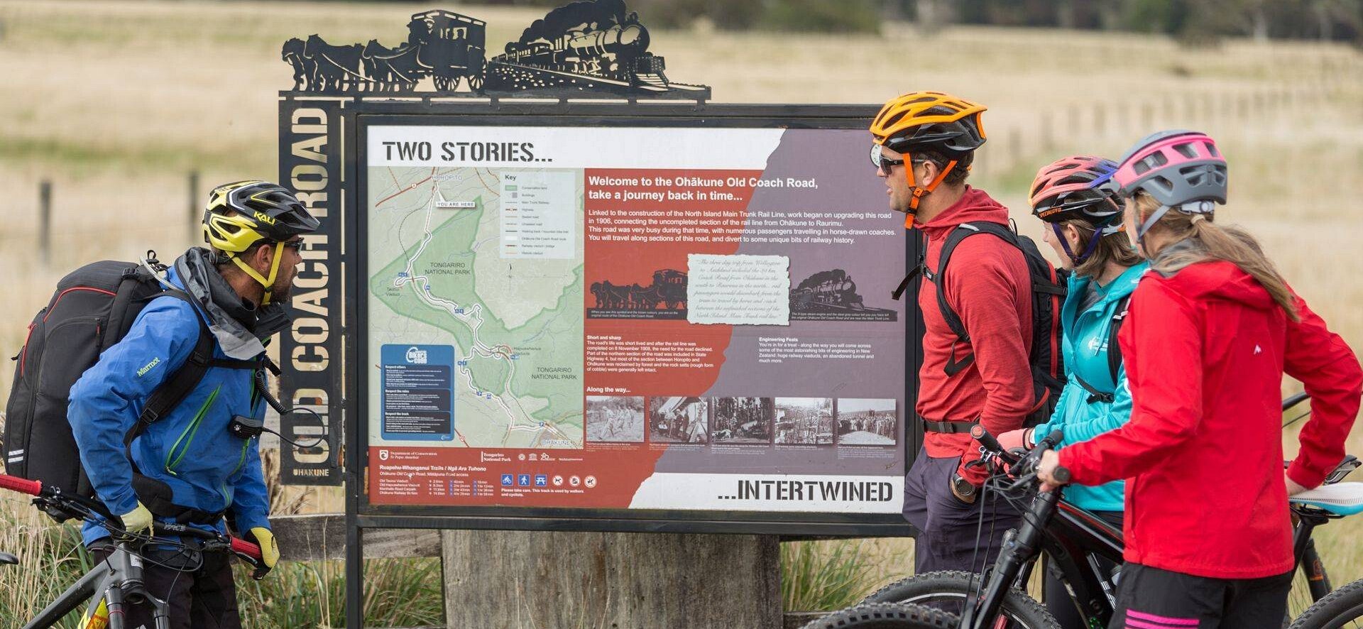
First built in the late 1800s to link two unconnected railheads, the cobblestoned Ohakune Old Coach Road became a vital route for horse-drawn coaches until the rail was completed in 1908. Abandoned and overgrown for nearly a century, it was rediscovered by locals in 2002 and lovingly restored. On 2 July 2010, it was officially reopened by Prime Minister John Key as part of Ngā Haerenga – New Zealand Cycle Trails.
The next sections progressively opened over the next couple of years including
Mangapurua Track (Bridge to Nowhere) – officially opened on 24 March 2012, adding the remote Whanganui National Park experience to the network.
Te Ara Mangawhero (Phase I) – an 12.95 km loop from Ohakune via the Bennett & Punch bush tramway, officially opened on 1 November 2024.
Te Hangāruru (Phase I) – a 9.1 km section from Horopito to Pōkākā Road, officially opened on 19 June 2025 during Matariki celebrations
We're still going, and our vision is to connect via Waimarino to complete the full journey.. want to help? Donate
How long is the trail?
The full length of the Classic experience trail is 231 kms, but in all there are 329kms of trail with more being opened for you to explore.
Do I need to carry a map?
Although the trails are well signposted, carrying a map will help you identify interesting landmarks as well as keep track of your ride timing for shuttle pick-ups and suchlike. You can view and download maps from the individual trail pages.
How do I get to the trail?
Stretching from the centre of Te Ika a Maui (The North Island), to the West gives a range of great choices. Most riders and walkers will start their journey based in Ohakune and explore from there...
Fly into Whanganui on Air Chatham's - taking the hassle and stress out of escaping from the city. Daily flights from Auckland connect to/from international flights. Experience the personality and personal service that comes with this little airline that can. Grab a rental car or one of our local shuttle and package operators can take care of everything from airport and back.
Take a train - three days a week, the Northern Explorer offers services from Wellington and Auckland to National Park Village and Ohakune. Book your bike and you on board and sit back and relax.
Drive to your choice of start/hub location and let our great shuttle partners take care of the logistics from there.
Bike - the Mountains to Sea - Ngā Ara Tūhono is part of the popular Tour Aotearoa bikepacking route. For those riding down the Timber Trail, you can connect via the Heartland ride to Oio Road and beyond.
Need help booking?
Our local i-Site can help you plan and book your trip.
OR Book directly with Trail Partners and discover the Mountains to Sea's cycle trail journeys for yourself.


NGĀ ARA TŪHONO TRUST 50232641
NZBN: 9429052786808